Bell Center to Columbia to Sugar Creek to the Illinois line
About the BECI line
What is planned, who is building it, and who decides where it goes.
What BECI is
BECI stands for Bell Center–Columbia–Sugar Creek–IL/WI State Line. It is a planned 765-kV line of about 190 miles. It would run from a substation near Bell Center in Crawford County east to the Columbia Substation near Portage, then south to the Sugar Creek Substation in Walworth County and on to the Illinois state line.
MISO approved the line in December 2024 as part of its Long-Range Transmission Plan, Tranche 2.1. In January 2026 MISO selected Transource Energy, owned by AEP and Evergy, to build it. Transource is developing it with BHE Transmission, part of Berkshire Hathaway Energy, as Midcontinent Grid Solutions (MGS). MGS puts its investment at $1.2 billion.
Sources: MISO BECI Selection Report; MGS project site.
- 78
- Study segments MGS published in Aug. 2026
- 24 mi
- Length of Segment 10, through Bear Valley
- 9
- Wisconsin counties in the study area
- 2033
- MGS's target in-service year
The study segments
Every line on this map is a route MGS is studying. Segment 10, in gold, crosses Bear Valley. No final route has been selected.
On a phone, this map shows the area around Bear Valley. See MGS's full map.
- Segment 10
- Other study segments
- Connection points named by MGS
Geometry from MGS's published study segments, captured Aug. 2026 by No 765 Line. Map drawn by BVCC. Check MGS's map for changes.
Who decides
MISO
Planned the line and chose the developer. MISO does not choose the route.
Public Service Commission of Wisconsin
Decides whether the line is built and on which route, through a Certificate of Public Convenience and Necessity (CPCN).
Wisconsin DNR
Reviews waterway and wetland crossings, jointly with the PSC.
U.S. Army Corps of Engineers
Issues federal permits for work in wetlands and waters.
Common questions
Is the route final?
No. MGS says no final route has been selected. It plans to name a preferred and an alternate route before applying to the PSC in early 2027. The PSC can approve either one.
What is Segment 10?
A 24-mile study segment running east to west through the Town of Bear Creek and neighboring towns in Richland and Sauk counties.
How large would the towers be?
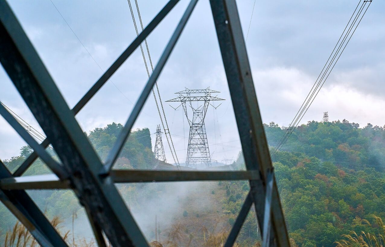
MGS's winning design uses steel lattice towers kept under 200 feet tall, on a right-of-way of 180 feet. Materials published with the study segments describe easements of about 250 feet. Trees are kept out of the right-of-way for the life of the line.
Who pays for it?
Costs are recovered through electric rates across the MISO region, which includes Wisconsin ratepayers.
Can a landowner refuse?
If the PSC approves a route, the developer can acquire easements by eminent domain under Wis. Stat. ch. 32, with compensation. Before signing any easement or survey-access agreement, talk with an attorney.
Does BVCC accept donations?
No. BVCC does not ask for or accept donations.